The MDC has one of the oldest continuous mapping programs in the country. Beginning in 1929 with paper maps drawn by hand to the development of today’s computerized geographic information system (GIS), the MDC has stayed on the leading edge of mapping technology.
Today, the MDC develops its land base data through the process of photogrammetry. This process, the ability to obtain reliable map measurements by means of aerial photography, was introduced during World War II. When photogrammetry became available for civilian use, the MDC was one of the first mapping agencies in the country to adopt it.
For more information, email [email protected]
To utilize the MDC Basemap, Web Mapping Application, click here.
TOWN MAP SERIES
Bloomfield
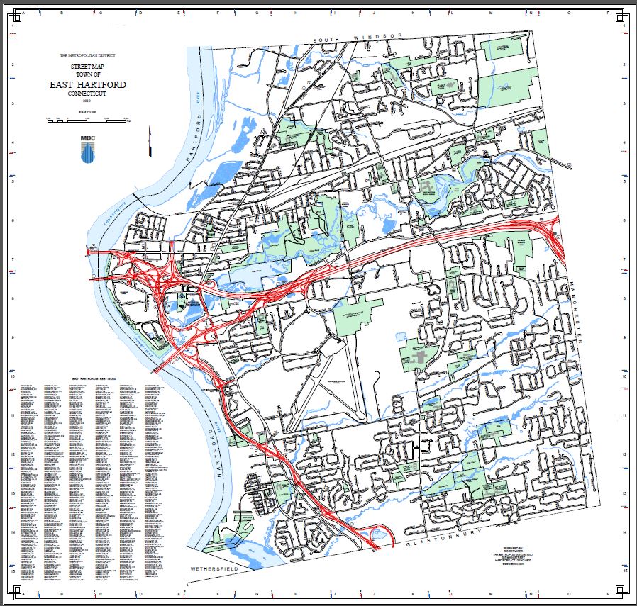
East Hartford
Hartford
Newington
Rocky Hill
West Hartford
Wethersfield
Windsor